Annapurna Circuit with Tilicho Lake
Ten days around the Annapurna massif, up the Marshyangdi to Manang, out to Tilicho, over the Thorong La and down to Muktinath.
Altitude
Kathmandu to Pokhara
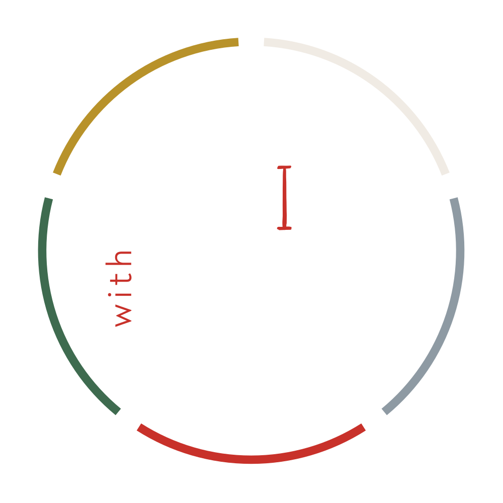
Two high points, five nights above 4,000m, and one deliberate drop between them. The prayer flags mark the two that decide the trek.
Why Tilicho
Why the lake, and why this circuit
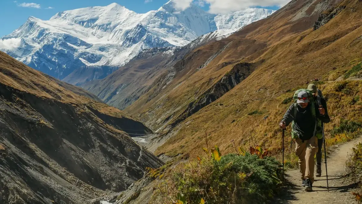
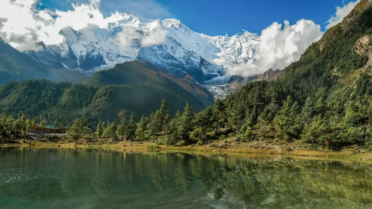
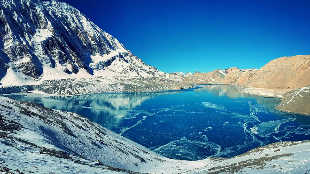
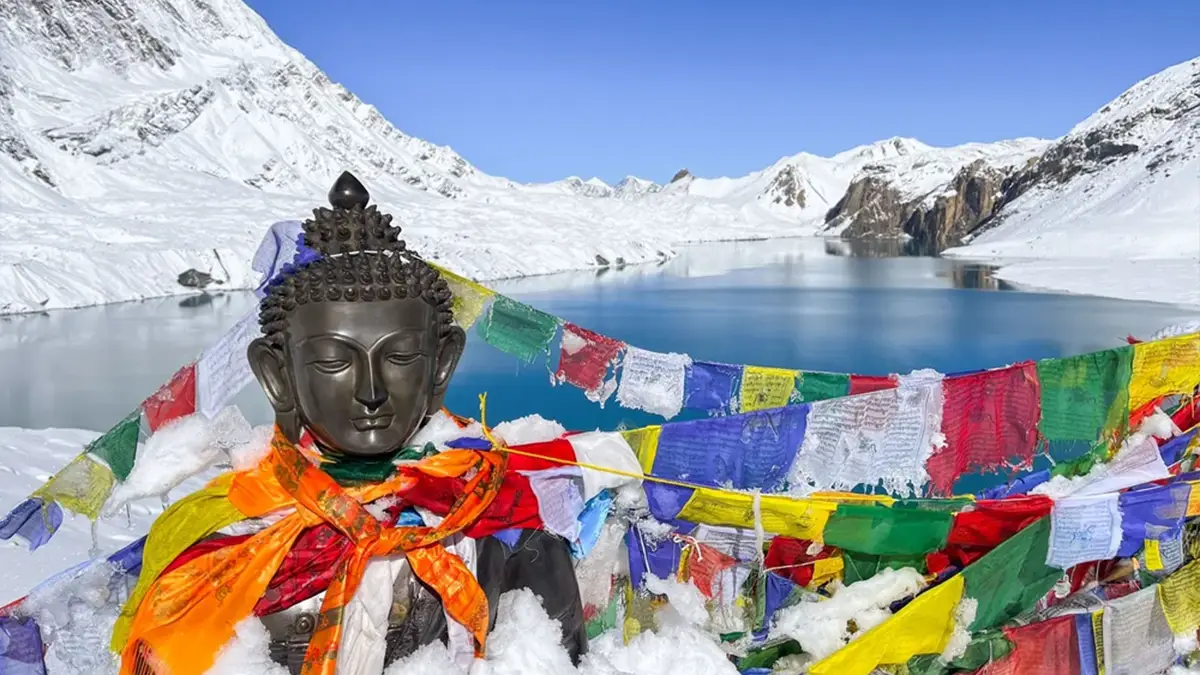
The Annapurna Circuit is one of the great walks of the Himalaya, and the detour to Tilicho Lake is the finest thing on it. Ten days carry trekkers around the whole massif, out of river gorge and pine forest into the bare high country, with Annapurna II and III, Gangapurna and Tilicho Peak standing over the trail for days at a time. The lake itself lies at 4,919 metres, one of the highest in the world, held in a bowl of ice and rock.
The lake is not only a view. It is the reason this circuit is safer than the standard one. Reaching it and returning puts two nights above 4,000 metres into the body before the Thorong La. The route climbs to 4,919 metres and sleeps at 4,060 metres, which is exactly the pattern acclimatisation asks for. By the time trekkers stand under the pass, the hard adjustment is already behind them.
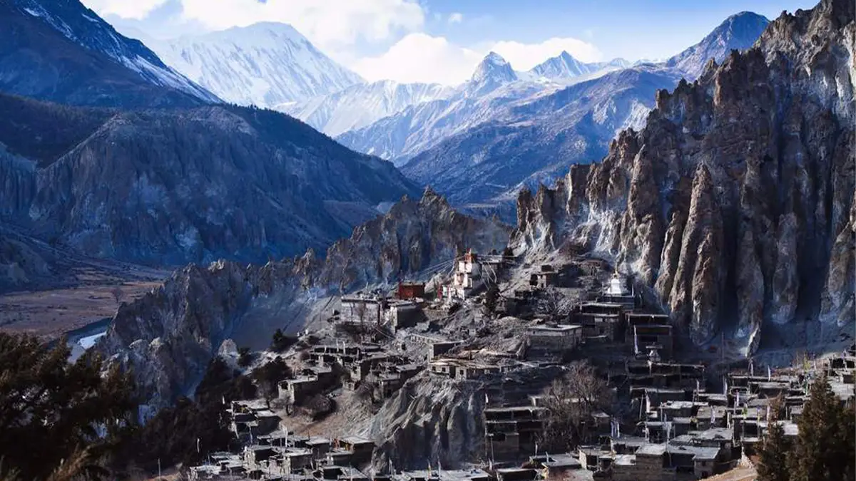
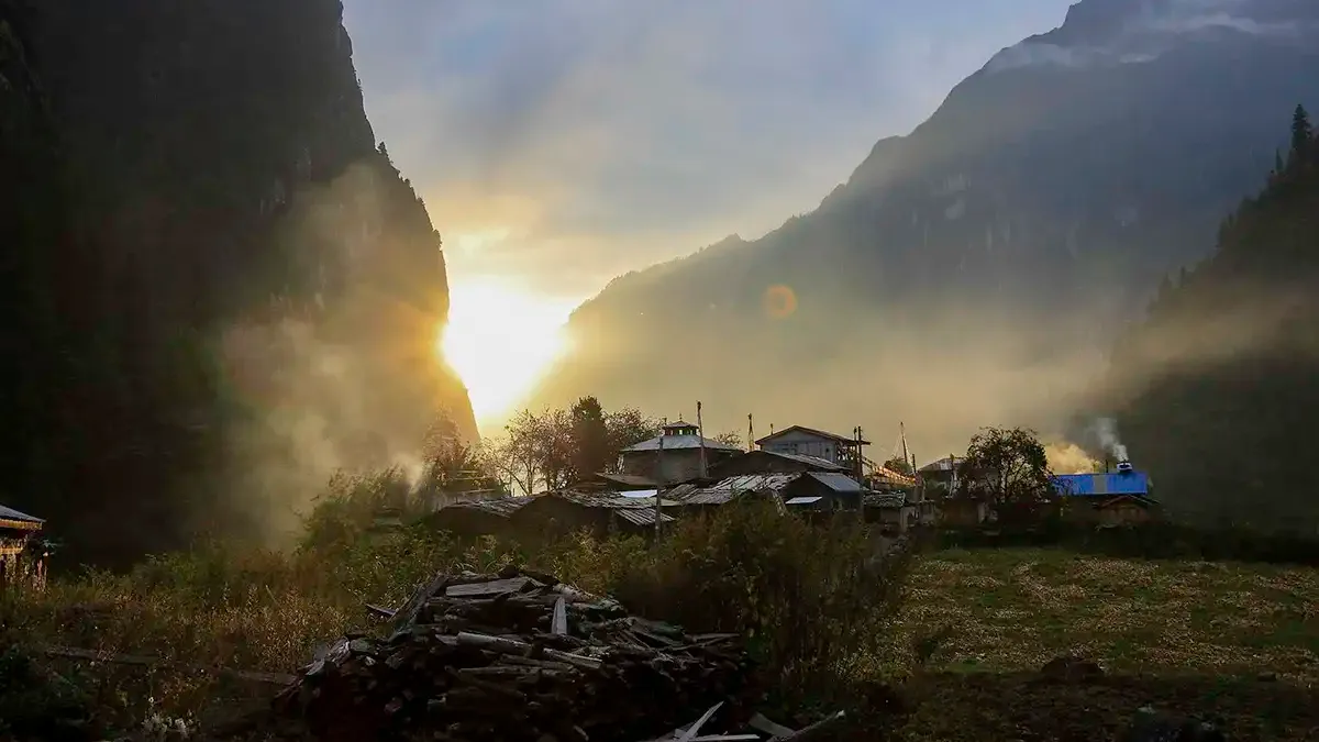
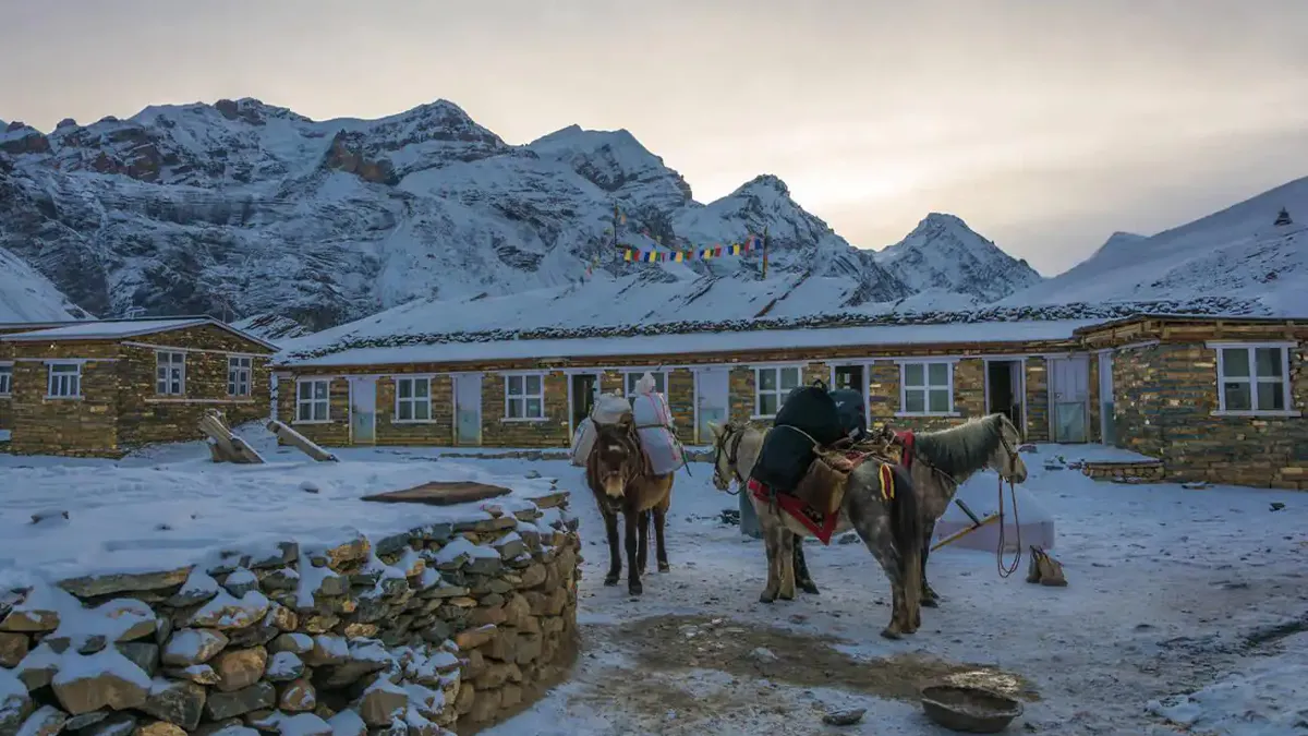
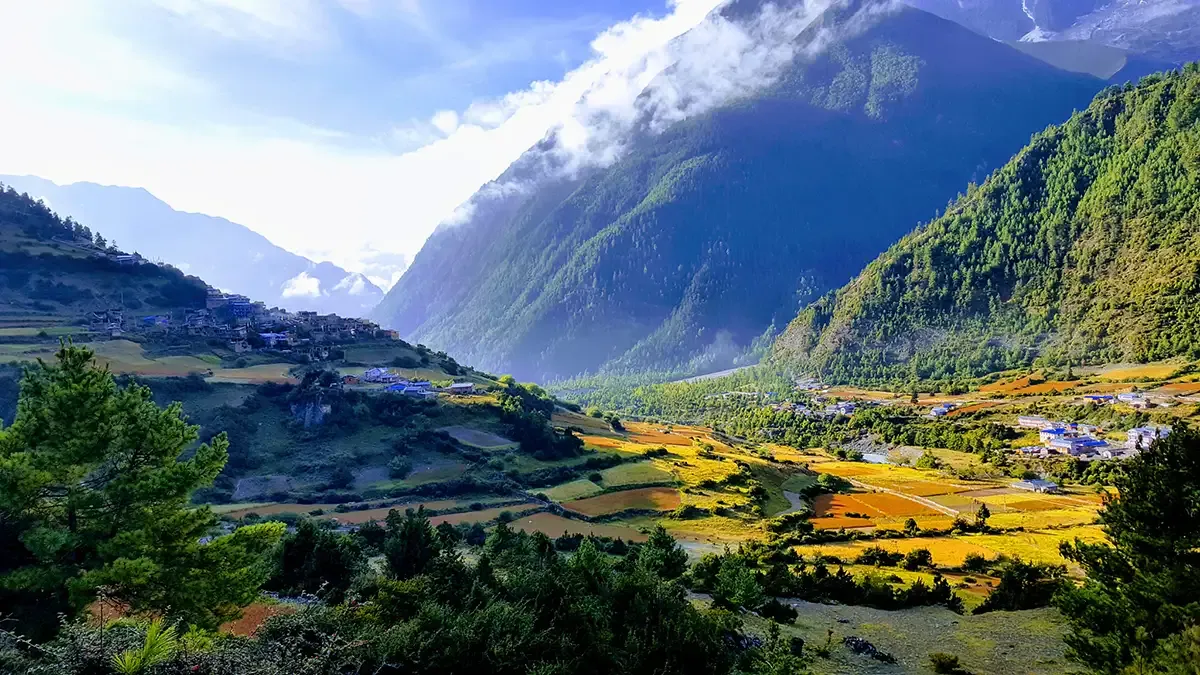
The country crossed is trans-Himalayan, Tibetan to its bones. Manang and Braga are old stone villages with monasteries set into the cliffs, prayer flags strung across every rise, barley terraces worked by hand at heights where most visitors are still catching their breath. The people who live here are among the hardest working in any mountain range, and the welcome they give is warm, unhurried and genuine. This is not simply a walk through a landscape. It is a walk through a way of life.
Conditions
Manang, Tilicho and Muktinath sit behind the Annapurna massif in the trans-Himalayan rain shadow. They stay dry and walkable through the monsoon. The high country is not the problem.
The roads are. Day 01 is a long drive up the Marshyangdi, and Day 10 comes out through Tatopani and Beni. Both are landslide country in the monsoon months. We plan for it, we do not pretend it cannot happen, and if we lose a day to a blocked road we deal with it on the ground.
What comes in exchange is a circuit with almost nobody else on it, at a price the autumn season will not offer.
The qualifying standard
One qualifying standard applies to every trek. You need to meet either one of these, not bothIt is a filter for readiness.
If your body cannot sustain a steady pace at sea level, the mountain will find out at altitude.
This is not a barrier put there to keep people out. It is a promise that everyone on the trail can look after themselves at altitude, and that nobody is carrying anybody else. You must also be free of respiratory illness at the time of departure.
Itinerary
Ten days, day by day
Bar length shows altitude. Read down and you see the shape of the walk.
00
1,400m
ArrivalKathmandu
Arrive by evening. Briefing and welcome. The following day is trek preparation, documentation and last minute shopping. Permits finalised.
01
2,650m
VehicleKathmandu to Chame, via Besisahar
10 to 12 hours by private vehicle, around 240km along the Trishuli and Marshyangdi rivers. Entry into the Annapurna Conservation Area.
02
3,250m
WalkingChame to Pisang
5 to 6 hours. Pine forests, suspension bridges, and views of Lamjung Himal, Annapurna II and Pisang Peak.
03
3,540m
WalkingPisang to Manang, via Ngawol
5 to 6 hours. Upper Pisang route for the best mountain views. Braga village and its ancient monastery. Annapurna III, Gangapurna and Tilicho Peak.
04
3,540m
RestManang, acclimatisation
Optional hikes to Gangapurna Lake or Ice Lake. Necessary for a safe Thorong La crossing. This day is not optional and will not be skipped.
05
4,150m
WalkingManang to Tilicho Base Camp
6 to 7 hours through Khangsar village. Landslide prone sections crossed with care. Views of Tilicho Peak.
06
4,919m
High pointTilicho Base Camp to Tilicho Lake to Shree Kharka
7 to 9 hours. Early morning climb to one of the highest lakes in the world. Return via Base Camp and continue to Shree Kharka at 4,060m.
07
4,200m
WalkingShree Kharka to Ledar
5 to 6 hours. Rejoin the main circuit trail past Yak Kharka. Gradual ascent aids acclimatisation.
08
4,925m
WalkingLedar to Thorong High Camp
4 to 5 hours via Thorong Phedi. Short but steep. Early dinner and rest before the pass.
09
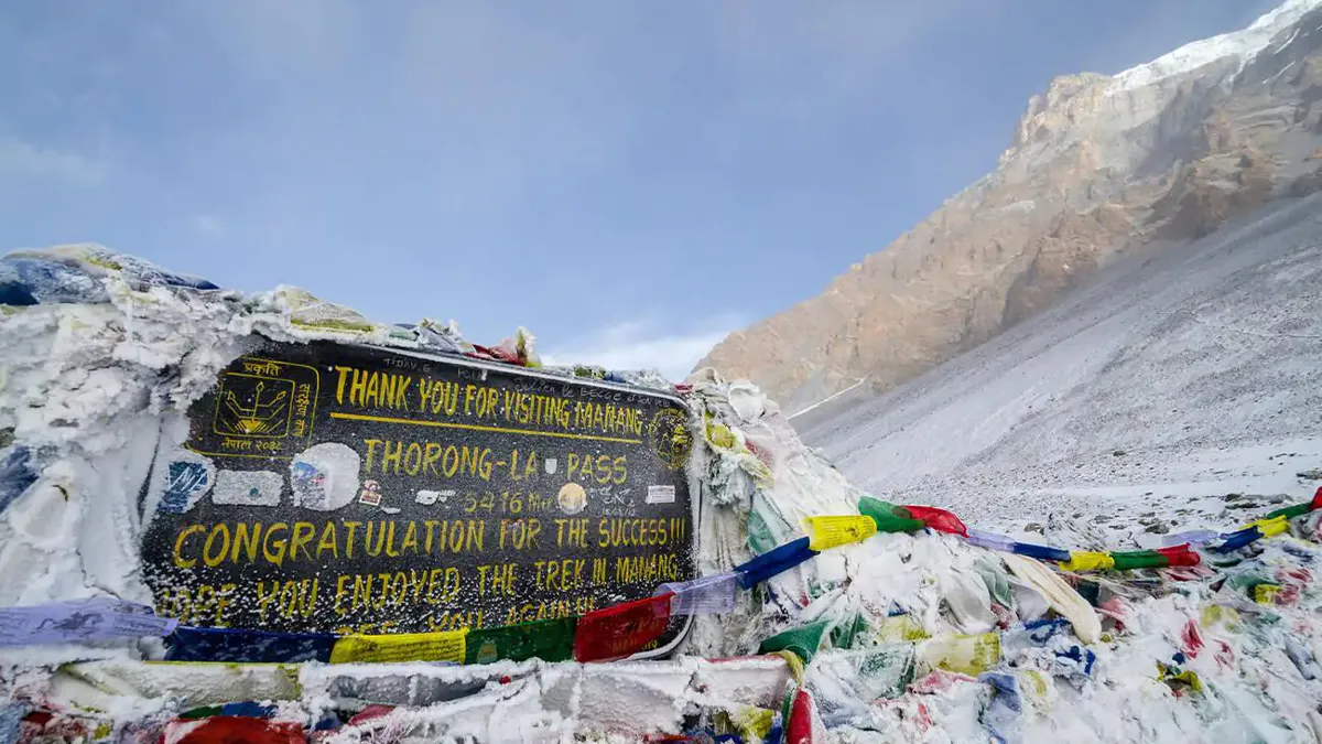
5,416m
The passThorong High Camp to Thorong La to Muktinath
8 to 10 hours, the longest day. Start before sunrise. Cross the Thorong La and descend to the sacred pilgrimage site of Muktinath at 3,760m.
10
820m
VehicleMuktinath to Pokhara
8 to 10 hours by jeep and bus through Jomsom, Marpha, Tatopani and Beni. Alpine landscapes give way to lush hills. Overnight in Pokhara. The trek ends.
Full itinerary document, inclusions and costing sent individually on enquiry.
Organisers
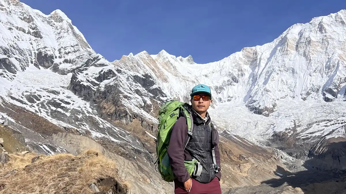
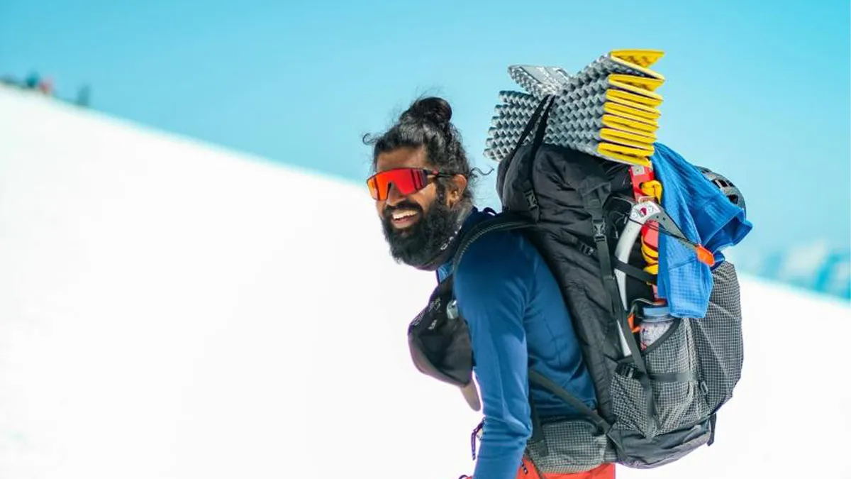
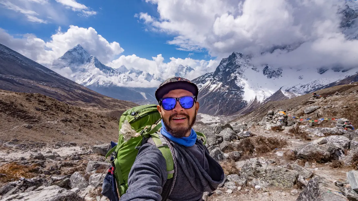
People who lead every departure.
Notes
How a departure works
- A deposit confirms your place.
- Full refund on the deposit if cancelled two weeks before departure. No questions asked.
- Minimum 6 trekkers for a departure to run.
- Departures run through the year.
- Tell me when you can travel and I will tell you what is open.
- Cost varies by nationality, because the Annapurna Conservation Area sets different permit rates. Full costing is sent with the itinerary document when you enquire.
“The mountain does not care how fast you go.
It only asks that you arrive in one piece.”
Venky